Best AI Geospatial data Tools
Discover the best Geospatial data tools reviews, pricing, features, use cases, alternatives. Explore top solutions for mapping, analysis, and visualization. Optimize your projects with the latest geospatial technology trends.

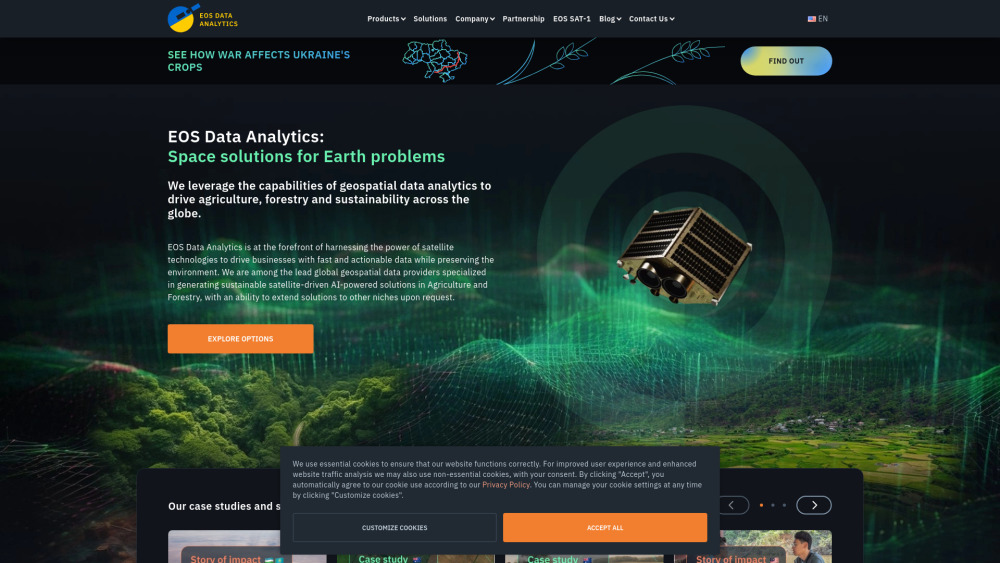
EOS Data Analytics: AI-Powered Satellite Imagery Solutions Globally
EOS Data Analytics: AI-Powered Satellite Imagery Solutions GloballyUnlock insights with EOS Data Analytics: AI-powered global satellite imagery solutions for precise, actionable data-driven decisions worldwide.

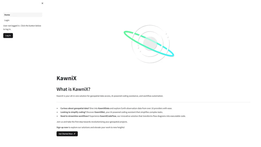
KawniX: Geospatial Data, AI Coding, Workflow Automation Solutions
KawniX: Geospatial Data, AI Coding, Workflow Automation SolutionsKawniX: Your all-in-one solution for seamless geospatial data access, AI-powered coding, and efficient workflow automation. Unlock the future of productivity today!