Table of contents
KawniX: Geospatial Data, AI Coding, Workflow Automation Solutions
KawniX: Your all-in-one solution for seamless geospatial data access, AI-powered coding, and efficient workflow automation. Unlock the future of productivity today!


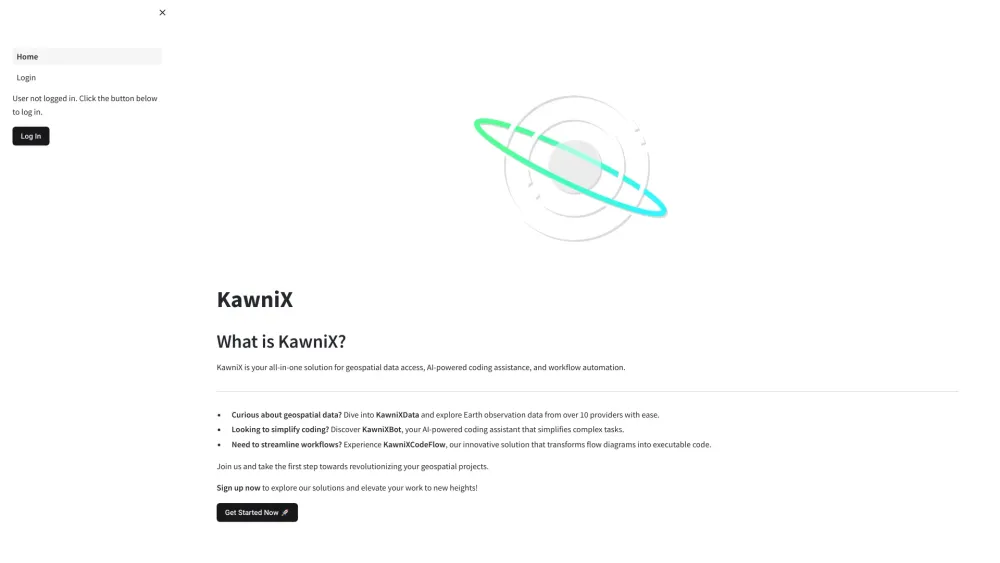
What is KawniX?
KawniX offers a comprehensive platform for accessing geospatial data, receiving AI-driven coding support, and automating various workflows.
How to use KawniX?
KawniX's Core Features
Geospatial Data Integration
AI-Enhanced Coding Tools
Automated Workflow Solutions
KawniX's Use Cases
Streamlining Coding Operations
Efficient Geospatial Data Processing
About KawniX
The KawniX platform is designed to optimize geospatial data usage and simplify coding tasks with AI.
FAQ from KawniX
What is KawniX?
KawniX is a versatile tool for geospatial data access, AI-powered coding support, and workflow automation.
How to use KawniX?
Register, upload geospatial data, use AI coding features, and automate workflows with ease.
Is coding experience required to use KawniX?
No, KawniX’s AI coding assistance is designed to help users regardless of their coding experience level.