Best AI geospatial Tools
Discover the best geospatial tools reviews, pricing, features, use cases, alternatives. Stay ahead with our expert insights on top solutions, from mapping software to spatial data analysis, tailored for your specific needs.

Map My Blog - Chrome Extension: Create Interactive Maps from Posts Easily
Map My Blog - Chrome Extension: Create Interactive Maps from Posts EasilyMap My Blog - Chrome Extension: Effortlessly create interactive maps from blog posts to boost engagement and enhance user experience. Try it today!

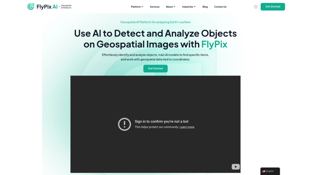
FlyPix AI: Geospatial AI for Precise Spatial Intelligence Solutions
FlyPix AI: Geospatial AI for Precise Spatial Intelligence SolutionsFlyPix AI delivers cutting-edge geospatial solutions, leveraging AI for unparalleled precision in spatial intelligence and decision-making.

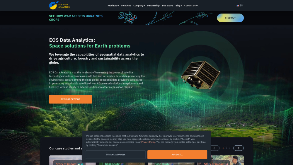
EOS Data Analytics: AI-Powered Satellite Imagery Solutions Globally
EOS Data Analytics: AI-Powered Satellite Imagery Solutions GloballyUnlock insights with EOS Data Analytics: AI-powered global satellite imagery solutions for precise, actionable data-driven decisions worldwide.

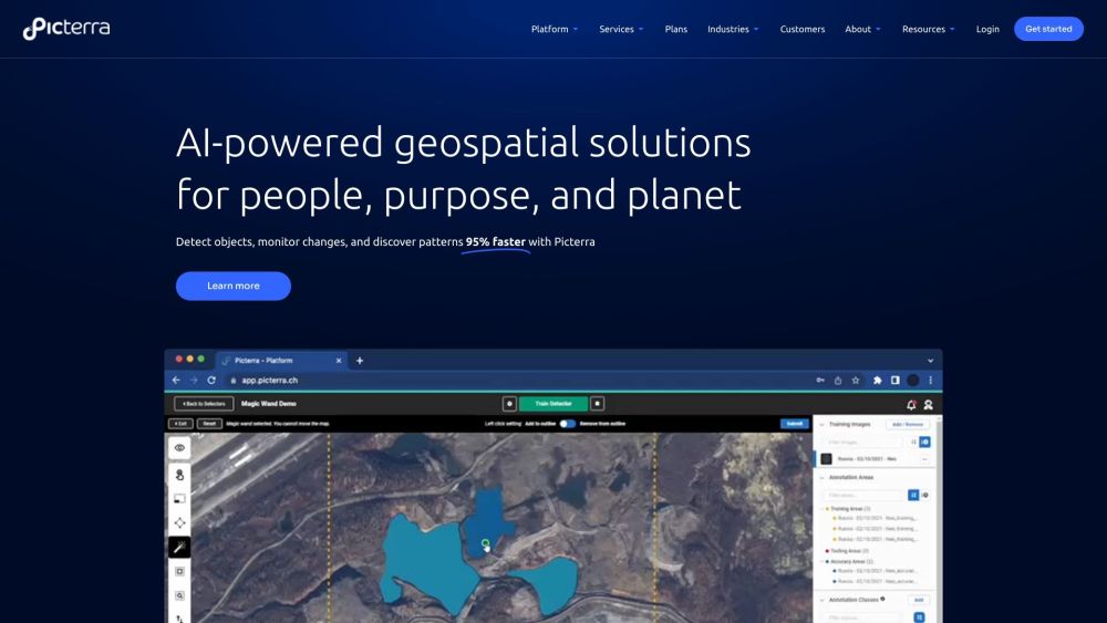
Picterra: AI Geospatial Solutions for Quick, Efficient ML Deployment
Picterra: AI Geospatial Solutions for Quick, Efficient ML DeploymentPicterra is a software platform for the training, deployment, and management of machine learning models powering geospatial apps and business services. It provides AI-powered geospatial solutions for detecting objects, monitoring changes, and discovering patterns in satellite, drone, and aerial imagery 95% faster.

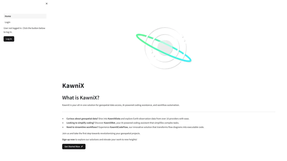
KawniX: Geospatial Data, AI Coding, Workflow Automation Solutions
KawniX: Geospatial Data, AI Coding, Workflow Automation SolutionsKawniX: Your all-in-one solution for seamless geospatial data access, AI-powered coding, and efficient workflow automation. Unlock the future of productivity today!

Dvina: AI & Geospatial Data Analysis Platform - Advanced Insights
Dvina: AI & Geospatial Data Analysis Platform - Advanced InsightsUnlock insights with Dvina: the AI & geospatial-powered data analysis platform transforming your data into actionable intelligence.