Understanding Picterra
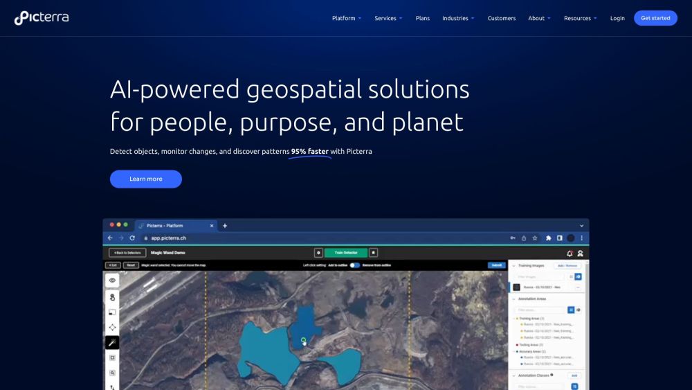
Picterra is an advanced software platform designed for the creation, deployment, and management of machine learning models specifically tailored for geospatial applications. Utilizing AI, it delivers solutions for rapid object detection, change monitoring, and pattern recognition in satellite, drone, and aerial images, significantly accelerating these processes by up to 95%.
Getting Started with Picterra
Picterra's AI-driven, cloud-based platform enables users to enhance geospatial workflows, quickly identify objects, and promote sustainable practices. The platform offers comprehensive tools for sourcing and processing imagery, supporting detector training, detecting changes, tracking developments, and customizing dashboards and results.