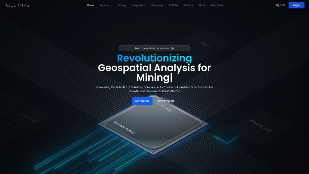
Cybertiks: Agtech Revolutionizing AI Data for Farming
Cybertiks: AI-Driven Agtech for Precise Farming Analysis. Harness satellite data & AI for sustainable agriculture, carbon farming, and soil analysis.


What is Cybertiks?
Cybertiks is an innovative company that utilizes remote sensing technology and agricultural technology (agtech) to deliver detailed agricultural insights through satellite imagery and AI-driven data analysis. They are at the forefront of transforming AI data analysis to promote sustainable farming practices, carbon farming, and soil health monitoring.
How to use Cybertiks?
Cybertiks's Core Features
Utilizing satellite and drone imagery
Analyzing natural and mineral resources comprehensively
Identifying plant species, water levels, soil properties, pollution metrics, and more
Classifying land based on satellite radar data
Assessing water quality in various bodies of water
Monitoring environmental hazards like oil spills
Evaluating construction progress and waste management
Cybertiks's Use Cases
Carbon farming and obtaining carbon credits
Precision agriculture and crop surveillance
Implementing sustainable farming methods
Conducting soil assessments for agricultural needs
Applying remote sensing and agtech innovations
Cybertiks Support Email & Customer service contact & Refund contact etc.
For more contact information, visit the contact us page(https://cybertiks.com/contact/).
Cybertiks Company
Cybertiks Company name: Cybertiks S.A de C.V.
For more about Cybertiks, please visit the about us page(https://cybertiks.com/about/).
Cybertiks Login
Cybertiks Login Link: https://cybertiks.com/login/
Cybertiks Sign up
Cybertiks Sign up Link: https://cybertiks.com/signup/
Cybertiks Pricing
Cybertiks Pricing Link: https://cybertiks.com/pricing/
FAQ from Cybertiks
What is Cybertiks?
Cybertiks is an innovative company that leverages remote sensing technology and agricultural technology (agtech) to deliver detailed agricultural insights through satellite imagery and AI-driven data analysis. They are at the forefront of transforming AI data analysis to promote sustainable farming practices, carbon farming, and soil health monitoring.
How to use Cybertiks?
To get started with Cybertiks, you need to create an account and provide specific details about your field, such as its coordinates and the date for analysis. After selecting a suitable package, you can delineate your field’s boundary for evaluation. Cybertiks employs artificial intelligence to analyze extensive datasets and generate tailored reports. You can track your field's condition and visualize the analysis results on an interactive map.
What industries can benefit from Cybertiks' services?
Cybertiks' services cater to a wide range of industries globally, including mining, agriculture, land classification, water quality monitoring, oil and gas, and construction sectors.
What can Cybertiks detect and analyze in the agriculture sector?
In the agricultural domain, Cybertiks can identify plant species, assess water availability, evaluate soil quality, and monitor pollution and pest levels.
How does Cybertiks revolutionize AI data analysis for sustainable agriculture?
Cybertiks leverages remote sensing technology and agtech to harness satellite data and AI. This combination allows for the comprehensive analysis of agricultural data, fostering precise insights for carbon farming and sustainable agricultural practices.
What technology does Cybertiks use for data analysis?
Cybertiks integrates artificial intelligence to process vast amounts of data, producing customized reports. They utilize multiple data sources, including optical and radar inputs, to offer a holistic and strategic perspective.
What is QSIS?
QSIS is a cutting-edge technology employed by Cybertiks, which uses thermodynamic data from electromagnetic sensors to detect, classify, and quantify materials through quantum-enabled AI, ensuring rapid and accurate analysis.